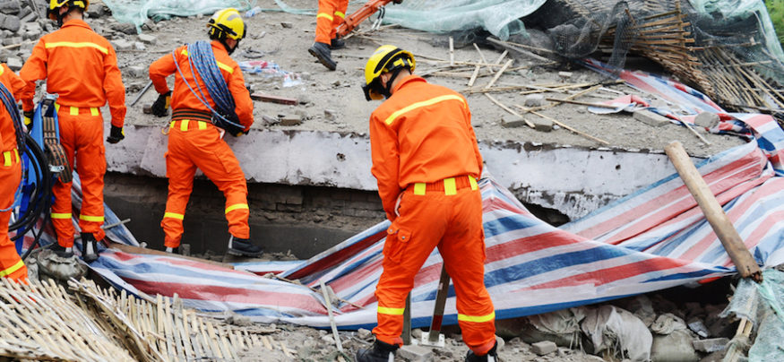
The Department of Interior (DOI) has an enormous responsibility in protecting lands and resources in the event of disasters such as earthquakes, fires, floods, hurricanes, spills, tornadoes, tsunamis, volcanoes and more. From recent events such as Hurricane Florence, which caused at least $1.2 billion in damages in South Carolina alone, to forest fires that have already impacted over eight million acres this year, it’s critical that DOI have tools in place to mitigate and respond to a variety of events.
Mobile technologies can play a critical role in supporting DOI’s mission, providing a range of productivity and tactical response tools for personnel whether they’re in the office or in the field. Following are three compelling ways mobility can help support disaster readiness and emergency response.
Preventative Data Collection
Various bureaus within DOI are collaborating to provide scientific information to help prevent disasters, as well as respond more quickly in the face of an event. For example, programs like the Office of Wildland Fire (OWF) have been put in place to more effectively and efficiently address fire concerns by mitigating risk and providing resources where needed. Similarly, the U.S. Geological Survey (USGS) is focused on collecting scientific information to help reduce property and life loss risks due to natural disasters.
Field data collection programs are essential to these efforts, allowing teams to better gather and analyze the hazards that can quickly turn into emergencies. Rugged tablets such as the Samsung Galaxy Tab Active2, can be used by field personnel to collect, manage and secure data wherever their work takes them. From GIS to environmental data, ruggedized tablets can provide DOI workers access to real-time information to better understand threats, particularly in remote areas of the country.
Digitize Your Government Agency

Get this guide to drive collaboration, boost productivity and ensure security in the public sector. Download Now
In the future, tablets could also be integrated into the agency’s developing approaches, such as the Office of Aviation Services’s unmanned aircraft fleet. In 2017, bureau operators flew nearly 5,000 missions to monitor dams and spillways, as well as map wildlife. A mobile-first approach to managing and monitoring drone activity (and resulting sensor and GIS data) could further streamline operations and maximize fleet effectiveness.
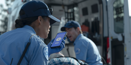
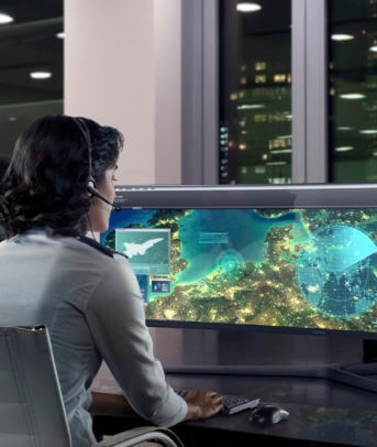
Emergency Event Coordination
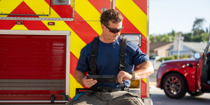
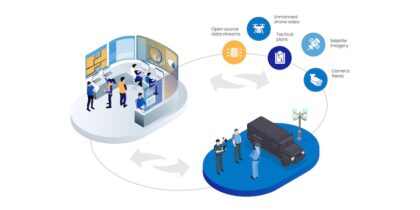
DOI often plays a vital role in disaster response by supporting the Federal Emergency Management Agency (FEMA) and working with the Office of Emergency Management (OEM) to ensure readiness and response during catastrophic events. Mobile devices can enable personnel — from park rangers and firefighters to scientists, federal law enforcement officers and more — to quickly and seamlessly collaborate through voice, video, data and other emergency response applications. For personnel crossing terrain by car, solutions like Samsung DeX deployed in the vehicle can enhance productivity and speed workflow by allowing users to connect the latest Samsung Galaxy devices to a monitor, keyboard and mouse for a PC-like experience.
Regardless of which mobile tools and applications agencies use to collaborate, it’s important that everyone’s devices are protected with defense-grade solutions such as Samsung Knox. With Knox, agencies can ensure only authorized individuals can access, share and collaborate around federal data.
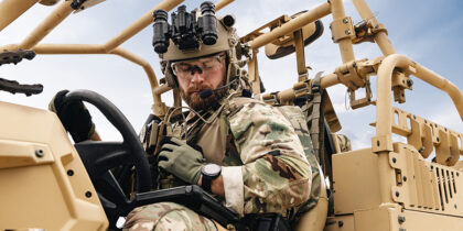
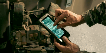
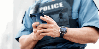
Tactical Field Response
On-the-ground responders need situational awareness tools in order to know what to expect in emergency environments. To help fuel such efforts and better arm responders, the Wildfire Management Technology Advancement Act of 2018 was put in place to call for new technologies — including mobile — to aid in real-time map creation, resource management and system tracking.
Solutions like the Galaxy S9 Tactical Edition, a preconfigured software suite that integrates with common tactical radios and peripherals, can be used to seamlessly communicate and share geospatial and mission data during emergency response. Additionally, responders equipped with wearables, such as the Gear S3, can benefit from hands-free access to voice and data so leaders can better monitor and manage the health and performance of dispersed teams in the field.
Recent emergencies reinforce how critical it is for federal agencies to proactively manage situations and be prepared to quickly respond. Mobile tools that provide seamless connectivity between the field and office can play an instrumental role in helping DOI plan, prepare and respond to emergencies more quickly. Taking a mobile-first approach can not only help bureaus more cost-effectively achieve their mission, but also ultimately help save public land, citizen property and even lives.
Learn how Samsung’s government mobility solutions can help federal agencies meet mission objectives.